
One advantage of being married to a field geologist is getting to tag along on field trips to beautiful places. This summer it was four days in the back country of the Tetons.
We started at first light from the Teton Canyon trailhead on the west side of the range, warming up our legs on the gently graded trail as sunlight began to creep down the surrounding slopes.

At the first junction we turned right towards the Devil's Stair and immediately began to gain elevation.

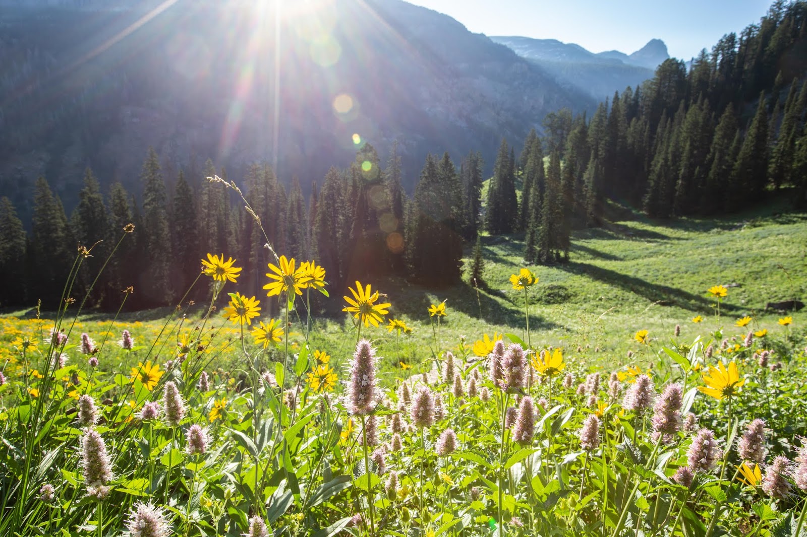
Before long we were in the sun,


and delighted in the abundant wildflowers.


It's hard to imagine a better break from the day to day world. I love the quiet open space, big bright sky, sparkling alpine lakes and flower-filled meadows. I love the well-earned fatigue and hearty appetite at the end of each day of hiking. I love taking off my boots at the end of the day...and putting them back on in the morning.
I'll be back soon with details from the second half of this trip, and an update of the sweater I worked on along the way. It's almost finished!
We started at first light from the Teton Canyon trailhead on the west side of the range, warming up our legs on the gently graded trail as sunlight began to creep down the surrounding slopes.


Before long we were in the sun,
and had reached the top of the Devil's Stair. The stair part of the name refers to the natural stairs formed by fractures in the limestone; perhaps the devil part refers to the dark color, or maybe to the devilishly steep gradient.

Once above the Devil's Stair, we were again on gentle slopes and could really take in the impressive cliffs and colorful wildflowers.

At the next junction, we turned left onto the Teton Crest Trail towards the Sheep Steps and then down to Basin Lakes, where we set up camp for a two-night stay. The Basin Lakes are incredibly scenic, especially in the late evening as the setting sun intensifies all the colors. Here you can see Buck Mountain.

The following morning, as the students went to explore one outcrop of the Flathead Sandstone, Steve and I went in the opposite direction to check out a different outcrop of the same formation. Along the way we spotted the unconformity between granitic basement rock and overlying sedimentary rocks (unconformities are always exciting for geologists!),

contemplated the origin of "the Wedge" on the opposite side of the canyon,

and delighted in the abundant wildflowers.

Our destination was the little peak in the top right of this photo. With no currently maintained trail, we had a bit of an adventure reaching the top. First we trudged up this snow slope,

and discovered this lovely little moraine from what was once a glacier.

Farther up the slope we arrived on a portion of the abandoned Skyline Trail. We weren't surprised to find the trail - we had read about it and examined images on Google Earth - but we were surprised to find some sections in excellent condition. Of course, other sections were completely covered by rockfall, one of the reasons it was abandoned in 1951. In fact, we watched as an enormous boulder came tumbling down right on top of the trail, thankfully a long way from where we were.

The trail led us right up to the saddle at the base of the outcrop.


From there it was a short scramble to the top,

and panoramic views. Looking to the northwest you see the Wall.

Our map didn't have a name for this little peak, so we dubbed it "Eagle's Rest" for the eagle leg and talon we found at the top.

We retraced the Skyline Trail back down, this time following it until it joined up with Alaska Basin Shelf Trail. I have to concur with the park rangers who advised against using the Skyline Trail. One of the sections that was completely covered with rockfall started a very disconcerting downward slide when we walked across it. Steve went first and was swept off his feet. I followed gingerly, but quickly, and managed to stay on my feet.

The rest of the day was pure enjoyment: dramatic skies,

big views,

and gentle trails.

We made it back to camp in time for a dip in one of the lakes.

and a few rows of knitting before dinner.

I'll be back soon with details from the second half of this trip, and an update of the sweater I worked on along the way. It's almost finished!
No comments:
Post a Comment